Nestled at the heart of the Mont‑Blanc massif, the Alpages de Blaitière unfold like a living postcard: endless green meadows dotted with traditional chalets, sheer limestone cliffs that scrape the sky, and the occasional splash of a pristine waterfall echoing through the valleys. Whether you’re a seasoned mountaineer, a casual hiker, or simply someone who enjoys a cup of hot chocolate while gazing at snow‑capped peaks, this area packs a punch of natural drama and tranquil charm. The high‑altitude pastures have served shepherds for centuries, yet today they attract photographers, families, and adventure‑seekers who crave the scent of alpine flowers mixed with the cool whisper of wind over the rocks. As you read on, you’ll discover why a trek here feels less like a walk and more like stepping into a story that the mountains have been telling for generations.
Table of Contents
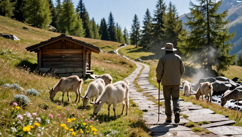
Discovering the Alpages de Blaitière: landscape and history
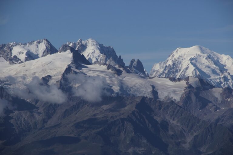
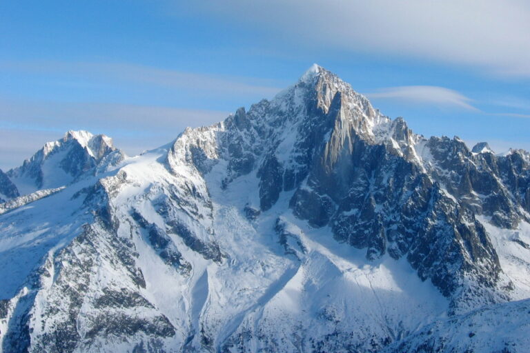
The first thing that hits you when you arrive is the sheer scale of the terrain. The alpages sit at roughly 2,300 metres, giving you unobstructed views of the Aiguille du Midi, the iconic Aiguille de Blaitière, and the sprawling Mont‑Blanc range beyond. Historically, these pastures were cultivated by local shepherds who moved their flocks here each summer, leaving behind stone walls that now double as charming photo backdrops.
What’s fascinating is how the land has evolved. In the early 1900s, a few daring alpinists attempted to summit the nearby peaks, paving the way for today’s well‑marked trails. The region’s name itself – “Blaitière” – is believed to stem from an old Savoyard word meaning “white stone”, a nod to the lingering snow patches that linger well into June.
Modern visitors can still hear the distant bleating of goats, a reminder that the alpages are alive, not just a static landscape. This mix of heritage and raw nature makes Alpages de Blaitière a living museum of Alpine culture.
Key geographical features
- Altitude: 2,300‑2,800 m above sea level.
- Dominant peaks: Aiguille de Blaitière (2,965 m) and nearby Dent de Blaitière.
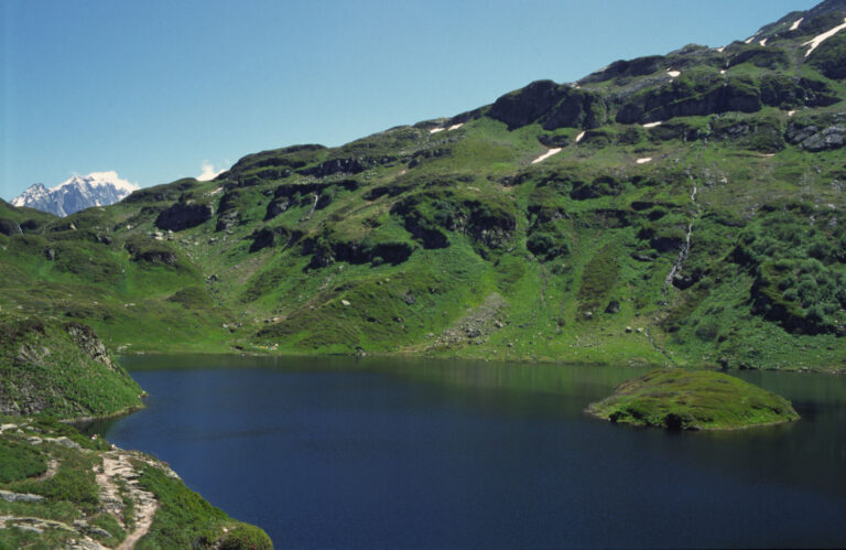
- Water sources: Melt‑water streams feeding into the Cascade de Blaitière.
- Flora: Edelweiss, alpine saxifrage, and larch forests.
Hiking the Alpage de Blaitière trail – a step‑by‑step experience
If you’re wondering how to tackle the famous Randonnée Alpage de Blaitière, the answer is surprisingly simple: start at the Plan de l’Aiguille cable car station, follow the blue‑marked path, and let the terrain guide you. The trail is graded “moderate” – it’s not a stroll in the park, but it’s also not a technical climb reserved for elite alpinists.
On a typical day in June, the first part of the hike winds through alpine meadows where cows lazily chew on fresh grass. Mid‑way, you’ll encounter a series of small wooden bridges crossing crystal‑clear streams – perfect spots to pause, take a breath, and maybe snap a photo of a shy marmot peeking from a rock crevice.
The final stretch leads you to a gentle plateau overlooking the Cascade de Blaitière. Here the water tumbles over polished granite, creating a mist that feels like a natural spa. I always find myself lingering here, just listening to the roar of the cascade – it’s a reminder that even in the high mountains, nature never stops moving.
What to pack
| Item | Reason |
|---|---|
| Light waterproof jacket | Mountain weather changes fast. |
| Sturdy hiking boots | Uneven, sometimes wet terrain. |
| Water bottle + snack | There are no shops on the alpage. |
| Camera or smartphone | Views are Instagram‑worthy. |
From Aiguille de Blaitière to the cascade: peaks and waterfalls
The Aiguille de Blaitière is more than a pretty name – it’s a limestone spire that attracts climbers seeking a classic “sport” route. Even if you’re not planning a full ascent, taking the footpath to its base rewards you with an awe‑inspiring silhouette against a deep blue sky.
Just below the mountain lies the Cascade de Blaitière, a 30‑metre drop that has carved out a small pool perfect for a quick dip in the heat of summer. Legend has it that shepherds used to wash their wool here, letting the water’s mineral content give the fibers extra softness.
Both the peak and the waterfall are part of a larger network of routes known colloquially as “Les alpages de Chamonix”. This network connects several high‑meadow pastures, each with its own micro‑climate, flora, and occasional hidden lake. You could spend a whole week hopping from one alpage to another, and still not see everything.
Seasonal variations
During early spring, the waterfalls swell with melt‑water, creating spectacular rainbows. Summer brings wildflowers in bursts of pink, yellow, and white. Autumn paints the surrounding larches a delicate amber, and winter, while harsh, cloaks the entire area in a quiet, pristine silence.

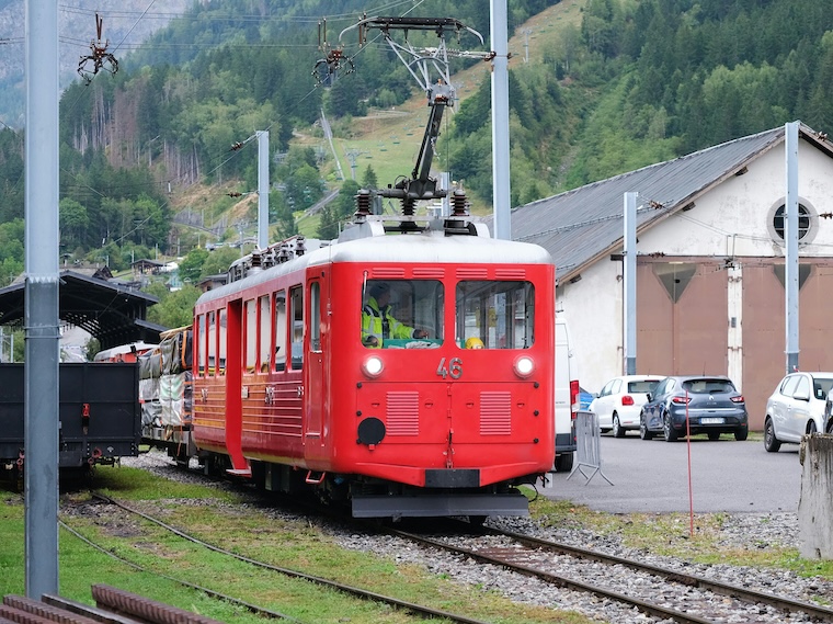
How to reach the Alpages de Blaitière from Chamonix
Getting there is part of the adventure. The most popular gateway is the Plan de l’Aiguille cable car, which whisks you up to 2,200 m in less than ten minutes. From the upper station, a short shuttle bus (the “Alpages Bus”) runs every half hour during the high season, dropping you at the main trailhead.
If you prefer a more rustic approach, there’s a well‑marked “old shepherd’s path” that starts near the village of Les Houches. It takes about two hours on foot, but you’ll be rewarded with quiet, car‑free scenery and plenty of opportunities to spot local wildlife.
For cyclists, the route from Chamonix to the cable car station is now a designated bike lane, making it easy to combine mountain biking with a mountain hike – a true “Vibes” experience, as we like to call it.
Wildlife and flora: what you might encounter
The Alpages aren’t just about rock and snow; they’re a thriving ecosystem. Early mornings often reveal herds of Alpine ibex scaling the cliffs with effortless grace. You might also spot a golden eagle soaring overhead, its shadow gliding over the meadow like a silent guardian.
Botanically, the area is a mosaic of alpine plants: edelweiss, gentians, and the rare Cypripedium calceolus (lady’s-slipper orchid) can all be found here, especially in the wetter zones near the cascade.
One of my favourite anecdotes comes from a local guide who once found a pair of chamois playing hide‑and‑seek among the rocks, completely oblivious to the tourists watching them. Moments like that turn a simple hike into an unforgettable memory.
Practical tips for visiting the Alpages de Blaitière
Planning a trip? Here are some bits of wisdom gathered from locals, fellow hikers, and a few trial‑and‑error experiences:
- Start early. The trail gets busy after 10 am, especially on sunny weekends.
- Check the weather. Even in summer, afternoon thunderstorms can roll in quickly.
- Bring cash. The small kiosk at the cable‑car base only accepts cash for snacks and map brochures.
- Respect the wildlife – keep a safe distance and never feed the animals.
- Take a pair of binoculars if bird‑watching interests you; the alpages are a hotspot for alpine avifauna.
Lastly, remember that the Alpages de Blaitière form part of a larger protected area. Stick to marked paths, carry out any litter, and you’ll help preserve this pristine environment for future generations.
Frequent Asked Questions
When is the best time of year to hike the Alpage de Blaitière?
The sweet spot is usually late June to early September. Snow has mostly melted, the flowers are in full bloom, and the weather is relatively stable. Early summer can be soggy near the streams, while late autumn brings cooler temperatures and fewer crowds.
Do I need a special permit to access the alpages?
No. The trails are open to the public and managed by the local tourism office. However, a small contribution is sometimes requested at the cable‑car station to support conservation efforts.
Are there any guided tours available?
Yes, several local operators in Chamonix offer half‑day or full‑day guided hikes that cover the main points of interest, including the Cascade de Blaitière and the foot of the Aiguille. Booking ahead during peak season is advisable.
Can I bring my dog on the hike?
Dogs are welcome as long as they’re on a leash. Keep an eye on them near wildlife, especially ibex that can be startled by sudden movements.
What altitude-related precautions should I take?
At 2,300 m the air is thinner, so hydrate well and ascend gradually. If you feel light‑headed, stop, rest, and drink water. Most people acclimatise quickly, but it’s wise to avoid heavy meals before the hike.
What you’ll remember after leaving the Alpages de Blaitière
From the panoramic views atop the Aiguille de Blaitière to the gentle roar of the Cascade de Blaitière, the alpine experience here lingers long after you descend. You’ll carry with you the scent of wildflowers, the memory of spotting an ibex on a crag, and perhaps a new appreciation for the quiet resilience of mountain pastures.
So whether you’re planning a day trip or a multi‑day trek across the “Les alpages de Chamonix”, let these tips guide you, and let the mountains do the rest. The Alpages de Blaitière are waiting – and they’re more than just a place on a map; they’re a living, breathing piece of heritage that welcomes anyone with a curious spirit and sturdy boots.