Perched above the bustling town of Chamonix, the Réserve naturelle des Aiguilles Rouges is a living museum of alpine geology, flora and fauna. Its dramatic ridgelines, turquoise lakes and glacial valleys lure both seasoned mountaineers and families looking for a gentle walk. What makes this protected area truly special is the seamless blend of natural wonder and carefully managed access – every trail, map and signpost has been designed to let you experience the wild without harming it. Whether you are planning a day‑long hike, a multi‑day bivouac or a leisurely stroll with your dog, the reserve offers routes for every pace and every level of adventure.
In the following pages we’ll explore the history that gave birth to the reserve, unpack the most useful maps, highlight the best hikes and explain practical rules about camping, pets and seasonal closures. All of this is presented with a tone that feels like a conversation over a coffee in a Chamonix café, so you’ll feel confident about packing your boots and hitting the trail tomorrow.
Table of Contents
Understanding the Réserve naturelle des Aiguilles Rouges: history and meaning
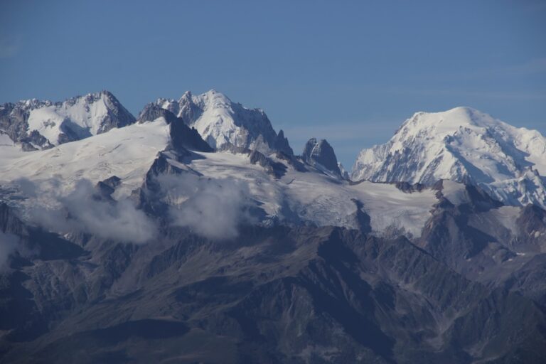
The word “Aiguilles” – French for “needles” – perfectly describes the sharp, pointed peaks that dominate the skyline. The range has been a landmark for travelers since the early 19th century, when shepherds first used its passes to move livestock between valleys. In 1976 the French government officially designated the area as a réserve naturelle* to protect its endemic plant species, such as the rare Eryngium alpinum (Alpine sea holly), and its thriving wildlife, including chamois, ibex and golden eagles.
Over the last decade the reserve has become a pilot site for sustainable tourism. Local NGOs work hand‑in‑hand with the Parc du Mont-Blanc authority to monitor visitor impact, restore damaged alpine meadows and maintain the network of signposted trails. The reserve’s very name, therefore, is a reminder that the landscape is both a natural treasure and a shared responsibility.
Key milestones in the reserve’s evolution
- 1976 – Official designation as a natural reserve.
- 1992 – First detailed topographic map published (still the reference today).
- 2008 – Introduction of a low‑impact bivouac policy.
- 2015 – Launch of the “Dog Friendly Zones” initiative.
- 2022 – Installation of solar‑powered information panels on main trailheads.
How to explore the Réserve naturelle des Aiguilles Rouges: maps and trail guides
If you’ve ever tried to navigate the Alps without a reliable map, you know the feeling of being a tiny ant on a massive, craggy chessboard. The good news is that the reserve’s cartography is both precise and user‑friendly. Two main resources dominate the scene:
- Réserve naturelle des aiguilles rouges map – the classic 1:25 000 topographic sheet from the Institut Géographique National (IGN). It shows every contour line, alpine lake, and seasonal refuge.
- Réserve naturelle des Aiguilles Rouges carte – a digital interactive version available on the official Chamonix Vibes portal, complete with GPS tracks and real‑time weather overlays.
Both formats are regularly updated – the latest revision came out in March 2025 and incorporates newly marked routes for guided walks. When you download the digital map, make sure to enable the “offline” mode; mobile signal can be fickle above 2 500 m.
Choosing the right map for your adventure
| Map type | Best for | Key features |
|---|---|---|
| Paper 1:25 000 (IGN) | Traditional hikers, orienteering fans | Contour lines every 10 m, detailed vegetation symbols |
| Digital interactive (Chamonix Vibes) | GPS users, day‑trippers, cyclists | Live trail closures, altitude profile, photo points |
| Mini “Pocket” map (7 × 10 cm) | Backpackers on multi‑day treks | Lightweight, waterproof, limited area (Aiguille du Midi sector) |
My personal habit is to carry a folded paper sheet as a backup – I once lost signal on the “Sentier du Lac Blanc” and the printed map became a lifesaver.
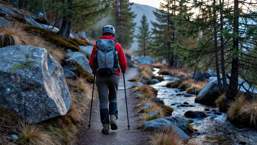
Top hikes and randonnées in the Réserve naturelle des Aiguilles Rouges
The reserve boasts a spectrum of trails, from gentle lake loops that take an hour to technical ridge traverses that demand crampons and experience. Below are the most popular choices, grouped by difficulty.
Easy – perfect for families and beginners
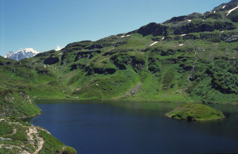
- Lac Blanc loop – 3.5 km, 250 m ascent, passes the iconic turquoise lake and offers a panoramic view of Mont Blanc on clear days.
- Le Tour des Aiguilles Rouges – a 7 km circular walk with interpretive panels that explain local geology.
Moderate – for seasoned walkers looking for a challenge
- Sentier du Choulier – 10 km, 950 m elevation gain; the trail climbs through alpine meadows before reaching the rocky “Choulier” summit.
- Hike to the Refuge du Mont-Blanc (Aiguille du Midi access) – 12 km, 1 200 m gain, combines a demanding climb with a rewarding overnight stay.
Hard – true alpine adventures
- Traverse of the Aiguille des Grands Champs – 15 km, 1 800 m gain, exposed ridgeline with occasional via ferrata sections.
- Réserve naturelle des aiguilles rouges hike – the “Grand Plateau” expedition – 20 km, 2 300 m gain, requires glacier gear and a guide.
When planning any of these routes, consult the Réserve naturelle des Aiguilles Rouges randonnée guide for up‑to‑date trail conditions. Early summer can still hide snowfields, while late autumn sees frequent rockfall on the higher sectors.

Bivouac, camping and pet policies: dogs in the Réserve naturelle des Aiguilles Rouges
One of the most common worries among adventurers is whether they can bring their four‑legged companions. The reserve has a clear, yet flexible, policy that balances wildlife protection with the joy of sharing nature.
Dogs are allowed on most marked trails, provided they are kept on a short leash (max 5 m) during the breeding season of ground-nesting birds (April‑July). Outside of this period, a longer leash is permissible, but owners must always clean up after their pets – litter bags are positioned at trailheads.
Bivouac rules
- Camping is prohibited in the core protection zone (the area above 2 200 m around the Aiguille du Midi).
- Primitive bivouac is allowed in designated “minimal impact” zones, marked by a blue tent icon on the map.
- A maximum of two nights per party is enforced to minimise ecological disturbance.
For those who prefer a more comfortable night, the Refuge du Grand Montet offers dog‑friendly rooms (reservation required). I once spent a night there with my Labrador, and the staff even provided a small bowl of fresh mountain water at the doorstep.
Practical tips for visiting the Réserve naturelle des Aiguilles Rouges
Before you head out, a few logistical details can make the difference between a smooth adventure and a scramble back to the car.
When to go
- Best window: mid‑June to mid‑September – trails are clear, refuges are open, and most wildlife is active.
- Early July often brings occasional thunderstorms; keep an eye on the local forecast.
Access and transport
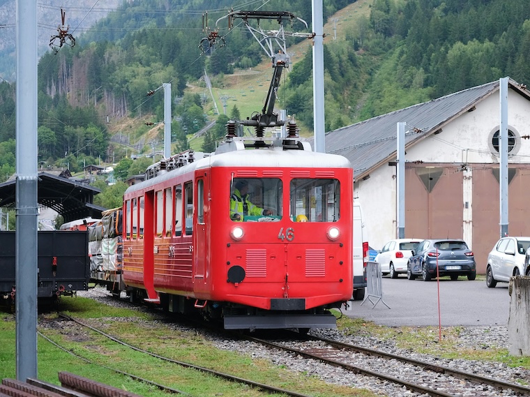
The nearest lift is the Transarc cable car, which drops you at the base of the Aiguille du Midi. From there, a network of signposted paths leads directly into the reserve. If you prefer public transport, the Chamonix bus line “Lemarade” stops at “Le Borne”, the official entry point to the protected area.
Gear checklist (essential for safety)
- Sturdy trekking boots with good ankle support.
- Layered clothing – the weather can shift from sunny to snow in minutes above 2 000 m.
- Map (paper or digital) and compass – GPS alone isn’t reliable in deep valleys.
- Headlamp with extra batteries (if you plan a late return).
- Reusable water bottle and a small snack (energy bars, dried fruit).
- Pet waste bags (mandatory for dog owners).
And don’t forget a small first‑aid kit – alpine environments can be unforgiving, and the nearest medical centre is in Chamonix town, about 12 km away.
Frequent Asked Questions
Where exactly are the Aiguilles Rouges located?
The Aiguilles Rouges form the northern edge of the Mont Blanc massif, straddling the border between the departments of Haute‑Savoie and Savoie. Their highest point, the Aiguille du Grand Roi, reaches 2 965 m above sea level. The range sits just a few kilometres north of Chamonix, making it easily accessible by the Transarc lift.
When is the optimal season to complete the Tour des Aiguilles Rouges?
The classic “Tour des Aiguilles Rouges” is best tackled between early June and late September, when the mountain huts are open and snow has retreated from most passes. Mid‑June to mid‑September offers the most reliable weather and the richest wild‑flower displays.
How can I reach the summit of the Aiguille Rouge from Chamonix?
The usual approach starts with the Transarc cable car to the “Plan de l’Aiguille” station, followed by the Arcabulle chairlift. From the top you follow the well‑marked “Sentier de l’Aiguille Rouge”, which eventually leads to the summit ridge. The whole ascent takes roughly 3‑4 hours depending on fitness and conditions.
What is the difficulty level of the Tour des Aiguilles Rouges?
Most hikers describe the tour as moderate. It can be split into three or four day‑long stages, each covering 10‑15 km with a daily positive elevation gain of about 1 000 m. Technical sections are limited, but a good level of fitness and basic alpine navigation skills are recommended.
Are there any restrictions for dogs during the summer months?
During the bird‑breeding period (April‑July) dogs must remain on a short leash (maximum 5 m) on all marked trails. Outside this window, a longer leash is permitted, but owners must always keep their dogs under control and pick up any waste.
What to remember before you go
We’ve covered history, maps, top hikes, bivouac rules, pet policies and practical logistics – the essential ingredients for a successful trip to the Réserve naturelle des Aiguilles Rouges. Keep these takeaways in mind:
- Check the latest trail conditions on the official digital map before you set out.
- Respect the seasonal leash rules if you’re travelling with a dog.
- Plan your accommodation early; refuges fill up fast during peak season.
- Carry a paper map as a backup – technology can fail at altitude.
Armed with this knowledge, you’re ready to experience one of the most stunning alpine landscapes in Europe. The mountains are waiting, and every step you take contributes to preserving this natural treasure for the generations to come. See you on the trails!