Standing at the border between France and Switzerland, the Aiguille d’Argentière dominates the skyline of the Chamonix Valley. Its sharp silhouette, carved by the glacier du Milieu on the west side and the glacier de Saleinaz on the north, draws alpinists, ski‑tourers and curious travellers alike. Whether you are planning a classic ascent on the voie normale, a daring mixed climb on the north‑west ridge, or simply a day‑trip to marvel at the massif du Mont‑Blanc, this guide gathers everything you need – from the story of the first ascent in 1864 to the practicalities of reaching the refuge d’Argentière. Let’s step into the high Alpine world where granite, ice and history intertwine.
Table of Contents
Overview of the peak and its setting
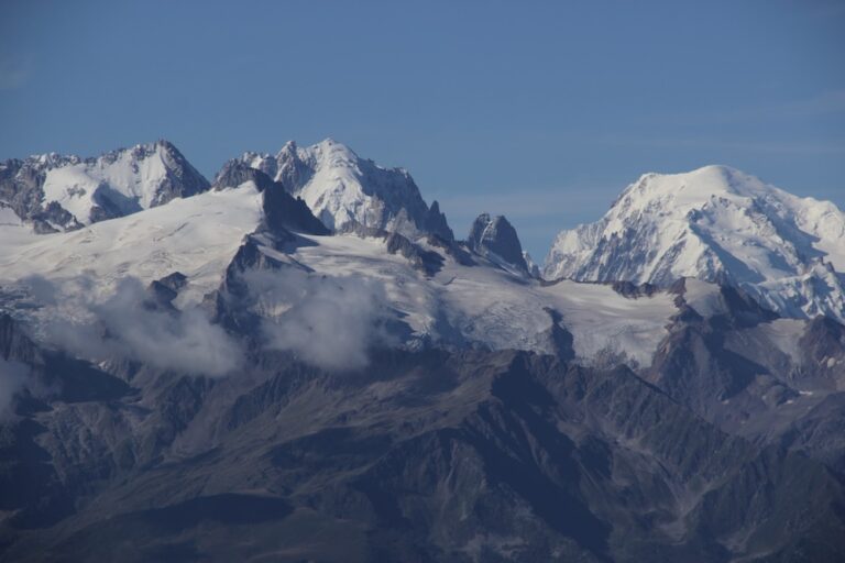
The Aiguille d’Argentière rises to an altitude of 3902 metres, a rocky point that marks the transition between the Graian Alps and the Upper Savoy. Located in the Haute‑Savoie department, it also brushes the Valais/Wallis side of the border between France and Switzerland. Its north‑west face drops 1 250 m into the glacier du Milieu, while the south‑west flank overlooks the famed Grands Montets ski area. The summit offers a 360° panorama that includes the towering Mont Blanc, the Aiguille du Chardonnet and the sea of white that blankets the glacier d’Argentière.
Geologically the mountain is composed of granite intrusions typical of the Alpine mountains. The complex system of Arêtes – the Arête NW, Arête Straton and the Arête du Jardin – provides a playground for rock, ice and mixed climbing. Below, the glacier des Améthystes and the glacier du Chardonnet feed the valleys, creating classic ski‑routes like the Y couloir and the cable car‑linked descent via the col du Tour Noir.
Getting there: from Chamonix to the mountain base
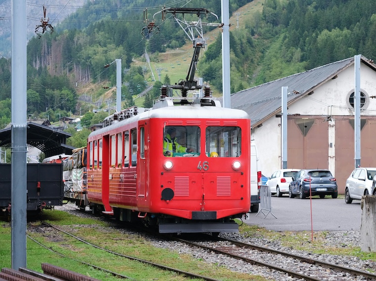
The most convenient gateway is the town of Chamonix itself, perched at 1 035 m. From there, the câble téléphérique to Grands Montets lifts you to 3 300 m in under 15 minutes – a true “ski‑lift” experience that saves you the arduous hike. Once at the top, the trail to the refuge Argentière (3 202 m) follows a well‑marked path crossing the glacier du Milieu’s lower moraine. An alternative for the adventurous is to start from Vallorcine, catch the TER train to Le Châtelard and trek up the col des Grandes Montets on foot.
For those who prefer to drive, the RD 15 scenic road runs along the Chamonix Valley and drops you off at the cable car station near the col du Tour Noir. Parking is limited, so early arrival is advised, especially in the high‑season months of July and August.
Climbing routes – from the historic to the extreme
Voie normale (south‑west ridge)
The classic ascent, also known as the voie historique, follows the south‑west ridge from the refuge d’Argentière. It is graded PD+ (Peu difficile plus) and typically takes 6‑8 hours. The route negotiates a series of rock steps, a brief ice field on the west flank and a final scramble over a small cornice before the summit ridge.
North‑west ridge (Arête NW)
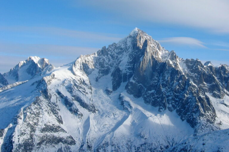
For more technical climbers, the north‑west ridge offers a sustained mixed grade AD (Assez difficile). First attempted by Edward Whymper and Michel Croz during the 1864 expedition, the ridge is now a staple of Alpine training. Expect steep ice pitches, hidden crevasses on the glacier du Milieu and a spectacular exposure above the glacier de Saleinaz.
East face – the ESE Ridge
The east face presents a more committing line, often climbed in late autumn when the snow is stable. The ESE Ridge demands solid ice‑climbing skills, mixed gear and a good sense of route‑finding on the glacier des Améthystes. Lengthy sections of frozen waterfalls make this route a true ice‑climbing experience.
All routes require a competent mountain guide or a seasoned alpinisme crew, especially when tackling the glacier travel sections. Carrying a topographic map (Swisstopo or IGN) and using a GPS device is strongly advised for safety.
Mountain hut and accommodation options
The refuge Argentière (3 202 m) is the primary base for climbers. It offers 44 bunks, a simple kitchen, and stunning views of the glacier du Milieu. Reservations are essential during peak season; the hut can be reached in 2‑3 hours from the cable car station via a marked trail.
| Hut | Altitude | Capacity |
|---|---|---|
| Refuge Argentière | 3 202 m | 44 beds |
| Refuge du Plan de l’Aiguille | 2 285 m | 30 beds |
| Refuge de la Balme | 2 150 m | 27 beds |
For those who prefer a more rustic experience, bivouac spots are permitted on the crater rim, though a mountain permit may be required in winter. The nearby town of Chamonix provides a full range of hotels, hostels and apartments for the post‑summit recovery.
Glaciers, terrain and environmental notes
The Aiguille d’Argentière is surrounded by three major glaciers: the glacier du Milieu, the glacier de Saleinaz and the glacier d’Argentière. Each glacier shows signs of retreat, a fact that has been documented by the Swisstopo office over the past decade. Climbers should be aware of hidden crevasses, especially after heavy snowfall.
Below the summit, the glacier des Améthystes feeds the famous Y couloir, a steep ski‑route that drops over 800 m. In summer, this same corridor becomes a classic mountaineering approach, accessed from the col du Tour Noir. The glacier du Chardonnet, on the opposite side, supplies water to the valley and offers a quieter, less-traveled descent.
Historical ascent and legendary personalities
The first successful climb dates back to 1864, when a British party led by Edward Whymper with guides Michel Croz, Michel Payot and H. Charlet tackled the north‑west ridge. Their achievement opened the door for further exploration of the mountain prominence that would later become a staple of Alpine lore.
Whymper’s diary describes the climb as “a relentless battle of stone and ice, where the mountain seemed to decide the hour of our ascent”. The route they forged now bears their names in many guidebooks, and the story remains a source of inspiration for modern alpinists.
Ski touring and snow routes
During the winter months, the Aiguille d’Argentière transforms into a premier ski‑tour destination. The most popular line is the Ski route that ascends via the col du Tour Noir, traverses the glacier du Milieu, and drops down the south‑west ridge in a spectacular run that can be combined with the Grands Montets lift for a “ski‑in, ski‑out” experience.
Another favourite is the Y couloir, which offers a steep, powder‑filled descent straight into the glacier des Améthystes. Skiers should be equipped with avalanche transceivers, shovels and probes, and always check the latest forecast from local mountain patrol.
Practical information, maps and resources
For a detailed route plan, the Camptocamp.org database provides up‑to‑date topo‑maps and user comments.
- Topographic map: Swisstopo 1:25 000 – “Aiguille d’Argentière”
- Guidebook: “Alpine Climbing in the Mont‑Blanc Massif”, French Alpine Club, 2024 edition
- Weather forecast: Meteo‑France “Chamonix‑Méribel” station
When planning your adventure, remember to register your route with the local rescue service, especially if you intend to travel on the glacier du Milieu or the glacier de Saleinaz. A good rule of thumb is to start early, respect the mountain’s changing conditions, and always carry a bivouac sack as a safety net.
Frequent Asked Questions
What is the best season for climbing the Aiguille d’Argentière?
Late June to early September offers the most stable conditions for rock and mixed climbing. The snow has generally melted enough to reduce avalanche risk, while the glaciers are still solid enough for safe travel. Winter ascents are possible but require full ice‑climbing equipment and a high level of experience.
Do I need a permit to camp near the summit?
Camping is allowed in the high Alpine zone above 2 500 m for a single night, provided you do not leave waste behind. During the winter months, a local sporting permit may be required, and you must respect the protected areas of the Glacier du Milieu.
How difficult is the north‑west ridge compared to the normal route?
The north‑west ridge is graded AD, meaning it is “fairly difficult” and involves steep ice, mixed sections and exposure. The normal route (south‑west ridge) is PD+, which is easier and suitable for climbers with basic alpine experience. Choose the ridge that matches your skill level and the current weather.
Can I combine a ski‑tour with a climb on the same day?
Yes, many hikers start early, climb to the summit via the refuge Argentière**, then descend on skis via the Y couloir** or the Grands Montets** ski area. This “climb‑and‑ski” combo requires good fitness and an accurate assessment of avalanche risk.
What wildlife might I encounter on the mountain?
The area is home to Alpine ibex, chamois, golden eagles and marmots. Respect wildlife by keeping a safe distance, especially during the breeding season (June–August). Feeding or approaching animals is prohibited.
What lies ahead for Aiguille d’Argentière?
As climate change reshapes the Alpine glaciers, the Aiguille d’Argentière will continue to evolve, offering new challenges for the next generation of mountaineers. Its rich history, striking geography and diverse climbing options ensure that the peak will remain a beacon for alpinists, skiers and outdoor lovers alike. Whether you are drawn by the legacy of Edward Whymper** or the allure of a fresh powder run, the mountain invites you to write your own story on its granite faces. Pack your boots, check the forecast, and let the high Alps inspire your next adventure.